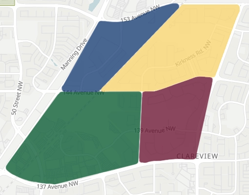
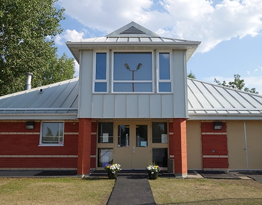
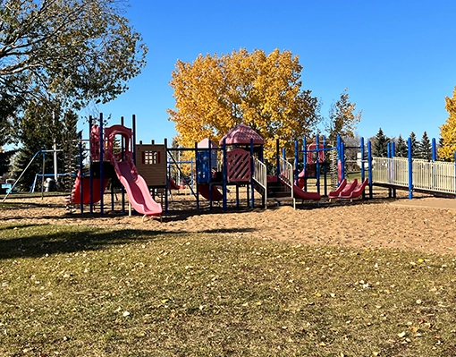
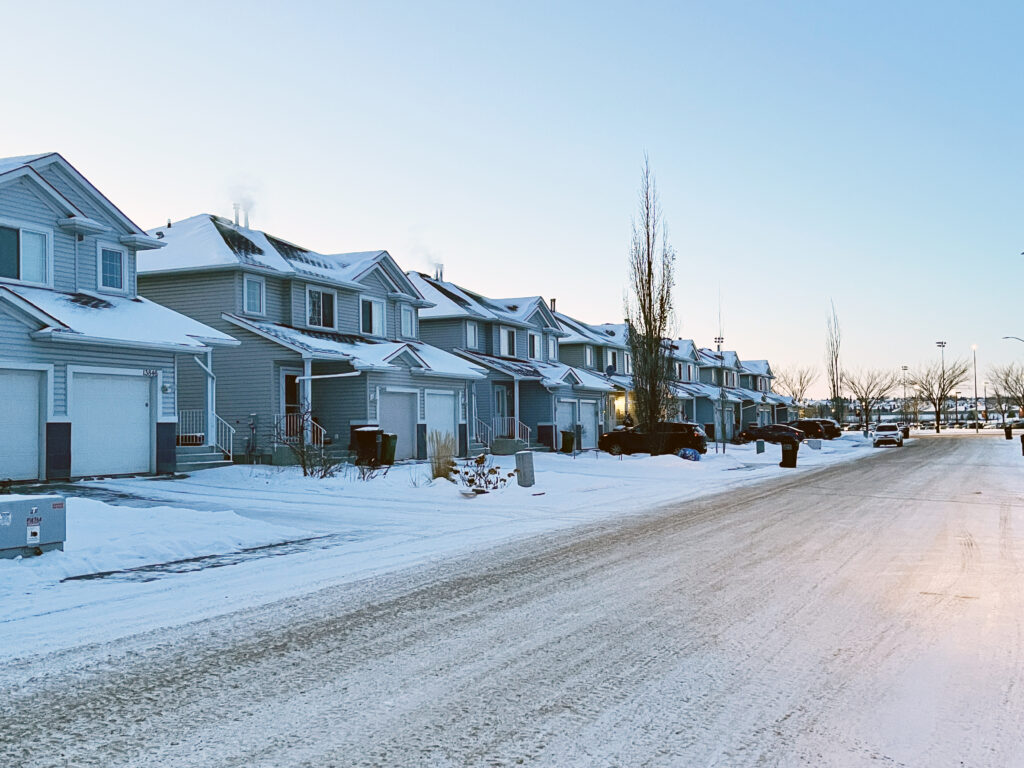
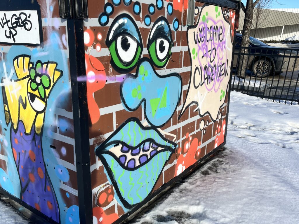
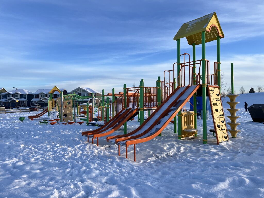
Hairsine, Kirkness, Clareview Town Centre, and Ebbers collectively form the Hairsine Community League (HCL), showcasing diverse lifestyles and amenities. Hairsine, between 137th Avenue and 144th Avenue, features Hairsine Community League, Park and Community Garden. Kirkness, surrounded by 153rd Avenue, Victoria Trail, 144th Avenue, and a public utilities corridor, boasts Kirkness Park. Clareview Town Centre, with boundaries at 149th Avenue, 36th Street, 137th Avenue, and Manning Drive, hosts the Clareview Recreation Centre, Jumpstart Park, and the Edmonton Public Library. Ebbers, delineated by Manning Drive, the future extension of 153 Avenue, a Canadian National rail line, and 144 Avenue, enjoys Ebbers Park, Manning Village Off-Leash Dog Park, and proximity to Manning Town Centre. These neighborhoods contribute to the Hairsine Community League, fostering a community spirit and diverse recreational opportunities.
Hairsine
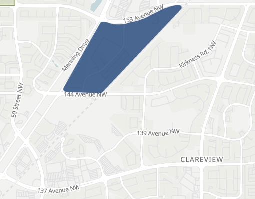
Kirkness
Clareview
Ebbers
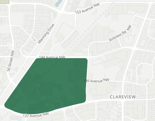
Hairsine
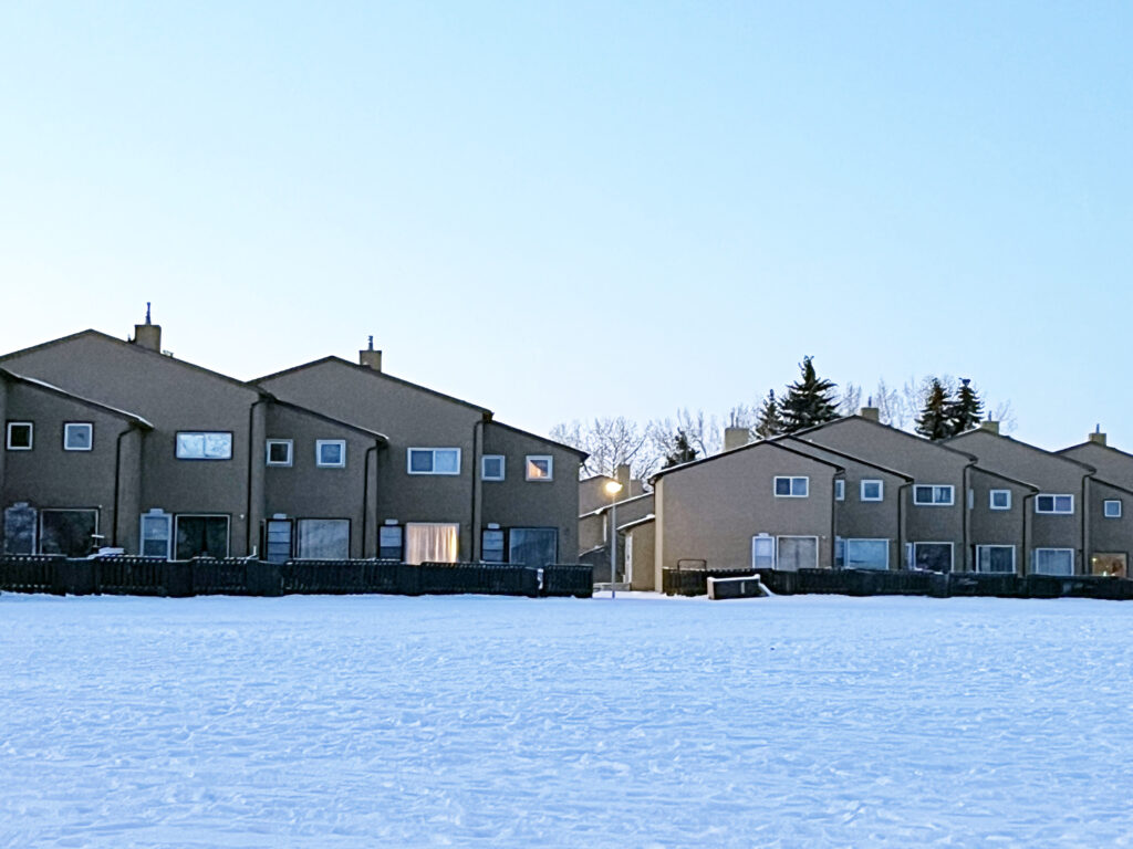
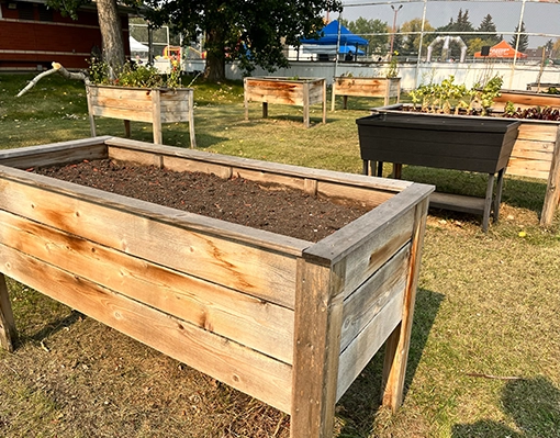
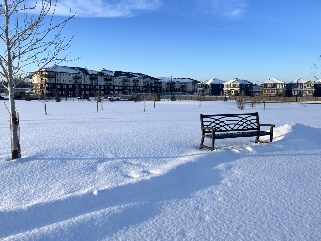
Hairsine Neighbourhood, bordered by 137th Avenue, 144th Avenue, 36th Street, and Victoria Trail, holds a rich history since its annexation by the City of Edmonton in 1961. The area witnessed development starting in the 1970s, extending through the 1980s. Paying homage to Albert Hairsine, the inaugural mayor of the Town of Beverly until 1951, the neighborhood predominantly comprises row housing and low-rise apartments. Within this community, residents enjoy amenities such as Hairsine Community Hall, and two schools—John D. Bracco and St. Bonaventure. Notably, Hairsine Park and the Community Garden further enhance the neighborhood’s appeal, providing green spaces and a communal hub for residents to engage and connect.
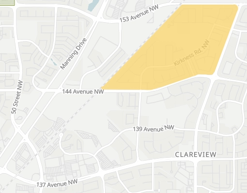
Kirkness
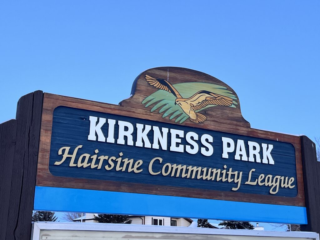
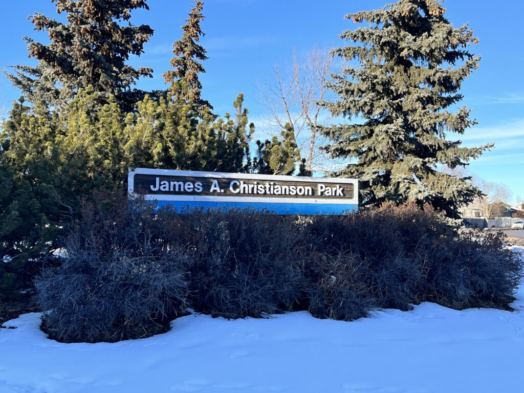
Kirkness Neighbourhood, bounded by 153rd Avenue to the North, Victoria Trail to the East, 144th Avenue to the South, and a public utilities corridor to the West, strategically incorporates the CNR/LRT right-of-way. Education and recreation facilities, including Kirkness School, are in the northern part. The neighborhood offers a mix of housing, with about half being single-detached homes and the rest comprising low-rise apartments, row housing, and limited semi-detached housing. Developed actively since the 1970s, residential construction was mostly complete by the 2000s. Named after James Kirkness, a retired Hudson’s Bay Company employee from Scotland who settled in River Lot 26 in 1881, the neighborhood also honors businessman James A. Christianson at the green space on 146 Avenue and Kirkness Road. Christianson notably sponsored the Oil Kings hockey club and the Meteors basketball club, contributing significantly to the community’s sports history.
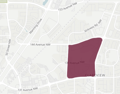
Clareview Town Centre
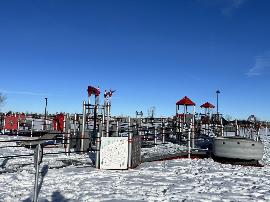
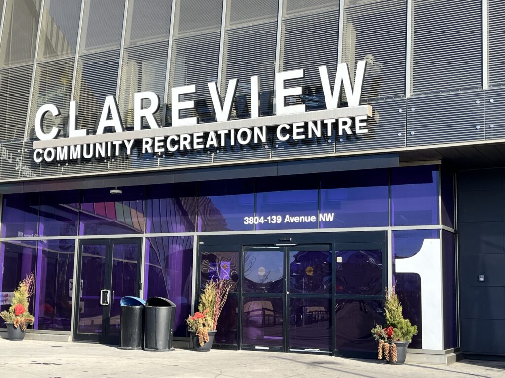
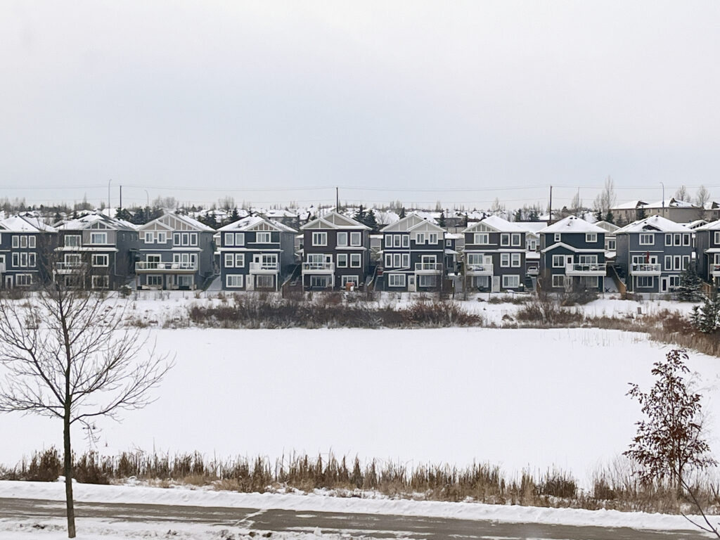
Clareview Town Centre is encompassed by 149th Avenue to the north, 36th Street to the east, 137th Avenue to the south, and Manning Drive to the west. While a plan for Clareview Campus and Business Park was initially drafted in the late 1970s but remained undeveloped, the Clareview Town Centre Neighbourhood Structure Plan now guides the area’s development. This neighborhood seamlessly blends a variety of residential, commercial, and institutional land uses, strategically positioned between major arterial roadways and the city’s Light Rail Transit (LRT) line. The vicinity boasts essential amenities, including the Clareview Recreation Centre, Jumpstart Park, Skate Park, and the Edmonton Public Library. Throughout the neighborhood, a diverse range of commercial and retail services, as well as residential developments spanning from low to high density, contribute to the area’s dynamic character.
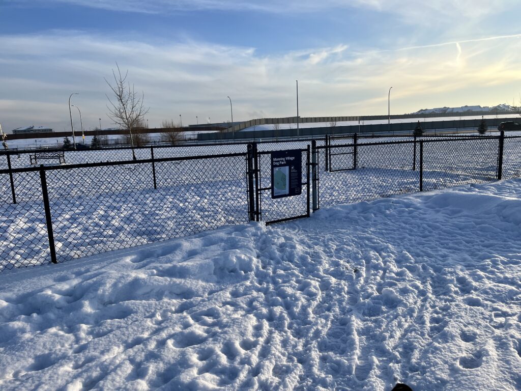
Ebbers
Ebbers Neighbourhood officially became a part of the Hairsine Community League (HCL) in 2019. Ebbers is delineated by Manning Drive to the west, the prospective extension of 153 Avenue to the north, a Canadian National rail line to the east, and 144 Avenue to the south. Established in 2006 through the Ebbers Neighbourhood Area Structure Plan (NASP), it was initially designated as Neighbourhood 6 in the Casselman-Steele Heights Outline Plan (OP). This vibrant community comprises 208 low-density residential lots, featuring both single-detached and semi-detached houses. Notably, Ebbers is in close proximity to Manning Town Centre and boasts recreational amenities such as Ebbers Park and the Manning Village Off-Leash Dog Park, enhancing the quality of life for residents.